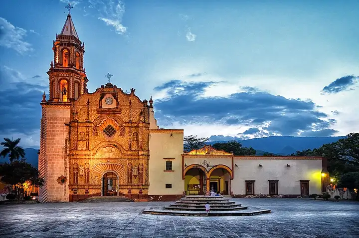
Sierra Gorda de Querétaro (Highway 120)
147 km (91 miles), 3 hr 25 min, advanced
Photo: Tobiascontreras, CC BY-SA 3.0, resizedMotorcycle ride in San Luis Potosí
153 km (95 miles), 3 hr 35 min, intermediate
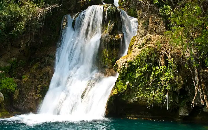
The toll-free federal route 70, the "libre", links Ciudad Valles to Rioverde, crossing the Sierra Madre Oriental through a long series of bends. A 7 km surfaced turn-off leads to Tamasopo, whose three waterfalls of around twenty metres and nearby paths draw swimmers and walkers, then to Puente de Dios, a pool and cave where the current often makes swimming unwise. The road is busy with lorries, even though the parallel 70D toll motorway takes some of them: stay on the "libre" to enjoy the route. Allow about 100 MXN to enter the waterfalls and 70 MXN at Puente de Dios, choose the November to June season, and slow down for the topes (speed bumps) as you enter villages.

Download the GPXTrack and stops as a GPX file, for a sat nav or another app.
In MotoLert, this ride is one of the roadbooks: its route, stops and photos are in the app. Premium guides you along it; camera zones and reported hazards stay free. The app is coming soon to iPhone.
147 km (91 miles), 3 hr 25 min, advanced
Photo: Tobiascontreras, CC BY-SA 3.0, resized
31 km (19 miles), 1 hr 30 min, intermediate
Photo: Diego Delso, CC BY-SA 3.0, resized
87 km (54 miles), 3 hr 30 min, intermediate
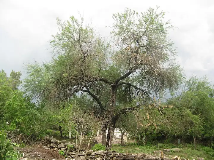
Photo: AlejandroLinaresGarcia, CC BY-SA 4.0, resizedRoads change: passes close in winter, roadworks, rockfalls, local restrictions. Check the road before you set off. MotoLert does not replace road signs or the Highway Code.
Route planned by MotoLert with Valhalla on © OpenStreetMap contributors data (ODbL). Photos from Wikimedia Commons, with the author and licence under each image.