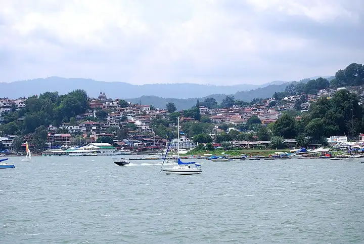
Valle de Bravo road
87 km (54 miles), 3 hr 30 min, intermediate
Photo: AlejandroLinaresGarcia, CC BY-SA 4.0, resizedMotorcycle ride in the State of Mexico
36 km (22 miles), 1 hr 30 min, intermediate
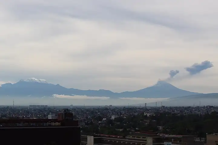
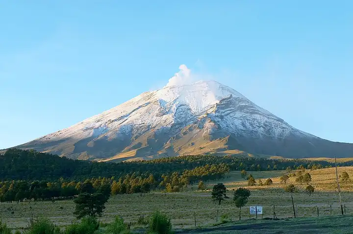
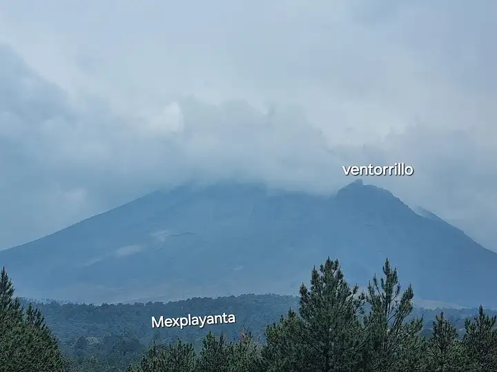
The Paso de Cortés pass opens between the Iztaccíhuatl and Popocatépetl volcanoes, in the heart of Izta-Popo National Park. It is a base for hikes towards Iztaccíhuatl and for walks along the ridges, very popular with walkers from the Mexico City area. From Tlalmanalco and Amecameca, the surfaced road climbs through San Pedro Nexapa to the pass, where the route ends; you come back down the same road. A park entry fee is paid at the post on the pass. The altitude makes the air cold and thin, and Popocatépetl is still active: access may close if the volcanic alert level rises. Slow down for the topes (speed bumps) in every village.
Download the GPXTrack and stops as a GPX file, for a sat nav or another app.
In MotoLert, this ride is one of the roadbooks: its route, stops and photos are in the app. Premium guides you along it; camera zones and reported hazards stay free. The app is coming soon to iPhone.
87 km (54 miles), 3 hr 30 min, intermediate
Photo: AlejandroLinaresGarcia, CC BY-SA 4.0, resized
31 km (19 miles), 1 hr 30 min, intermediate
Photo: Diego Delso, CC BY-SA 3.0, resized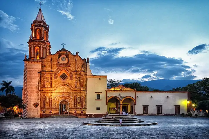
147 km (91 miles), 3 hr 25 min, advanced
Photo: Tobiascontreras, CC BY-SA 3.0, resizedRoads change: passes close in winter, roadworks, rockfalls, local restrictions. Check the road before you set off. MotoLert does not replace road signs or the Highway Code.
Route planned by MotoLert with Valhalla on © OpenStreetMap contributors data (ODbL). Photos from Wikimedia Commons, with the author and licence under each image.