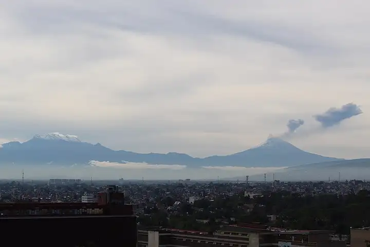
Paso de Cortés, between Iztaccíhuatl and Popocatépetl
36 km (22 miles), 1 hr 30 min, intermediate
Photo: Óscar Badillo Pérez, CC BY-SA 4.0, resizedMotorcycle ride in Oaxaca
73 km (46 miles), 2 hr 35 min, intermediate
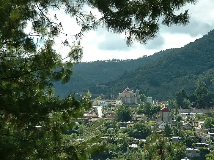
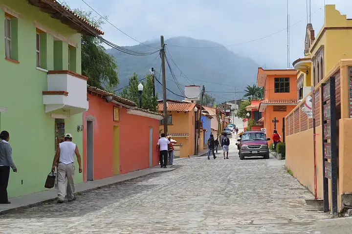
Federal route 175 leaves the Oaxaca valley to climb into the Sierra Juárez, crosses the cloud forests of La Cumbre, above 2,700 m, then drops down towards Guelatao, Ixtlán and Capulálpam. The sierra is known for its community ecotourism: paths and the Peña Prieta viewpoint at La Cumbre (Ixtepeji), guided hikes and a glass viewpoint at Ixtlán, and a river, caves and forest tracks around Capulálpam, the state's first "Pueblo Mágico". The road is surfaced but very twisty, fog can come down fast at altitude, and topes (speed bumps) slow you down in every village. In December 2024, subsidence at km 164+500 between Ixtepeji and Guelatao closed the road, with a diversion for light vehicles only: check the state of the road before you set off.
Download the GPXTrack and stops as a GPX file, for a sat nav or another app.
In MotoLert, this ride is one of the roadbooks: its route, stops and photos are in the app. Premium guides you along it; camera zones and reported hazards stay free. The app is coming soon to iPhone.
36 km (22 miles), 1 hr 30 min, intermediate
Photo: Óscar Badillo Pérez, CC BY-SA 4.0, resized
87 km (54 miles), 3 hr 30 min, intermediate
Photo: AlejandroLinaresGarcia, CC BY-SA 4.0, resized
31 km (19 miles), 1 hr 30 min, intermediate
Photo: Diego Delso, CC BY-SA 3.0, resizedRoads change: passes close in winter, roadworks, rockfalls, local restrictions. Check the road before you set off. MotoLert does not replace road signs or the Highway Code.
Route planned by MotoLert with Valhalla on © OpenStreetMap contributors data (ODbL). Photos from Wikimedia Commons, with the author and licence under each image.